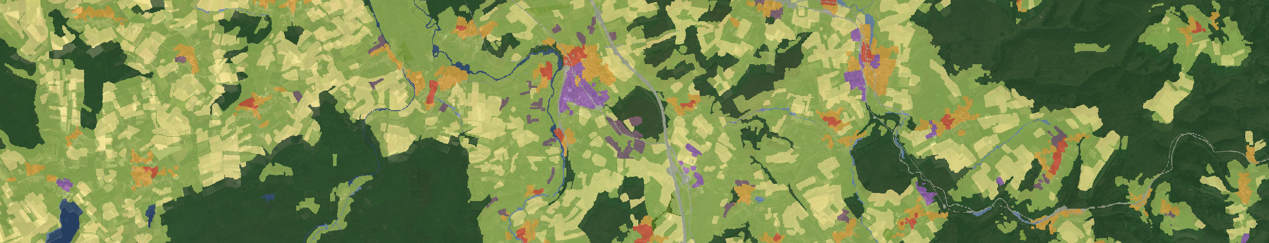
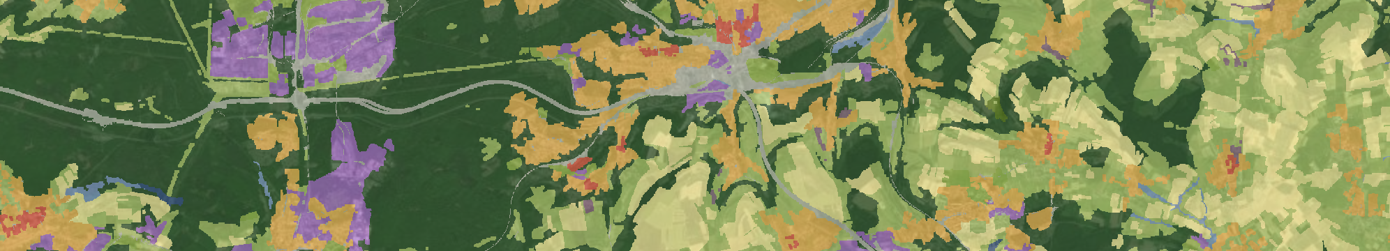
MultiSenGE Dataset
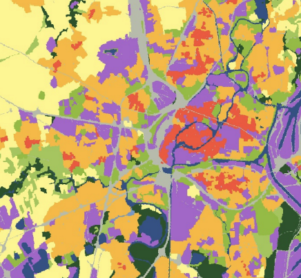
MultiSenGE is a benchmark dataset for multi-temporal and multi-modal land use land cover mapping. MultiSenGE contains 8,157 multi-temporal patches of Sentinel-1 and Sentinel-2 imagery over the Grand-Est region in France. A newly and highly reworked ground reference product (OCSGE2-GEOGRANDEST) is available for each patch.